The Polestar 4 is about to get a major navigation upgrade from Google Maps that could make missed turns a thing of the past with the introduction of a new AI-powered Live Lane Guidance feature.
The feature marks the first time Google Maps will use real-world visual data directly from a car’s sensors to enhance navigation, rather than relying solely on GPS. The Polestar 4 will be the first production vehicle to showcase the technology.
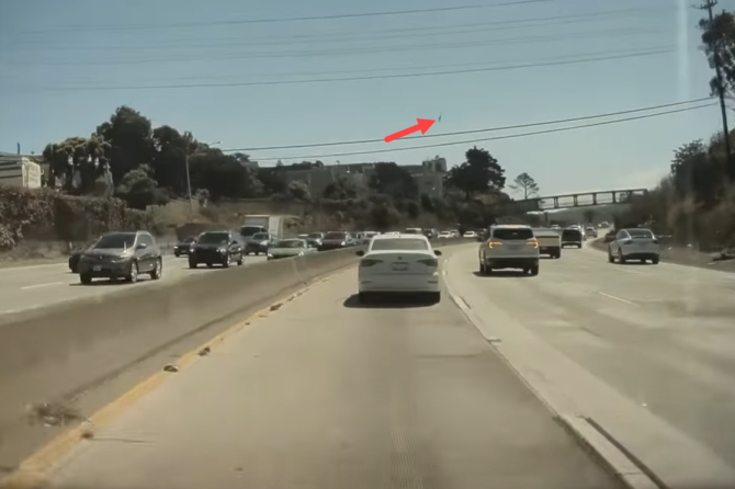
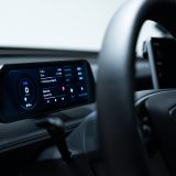
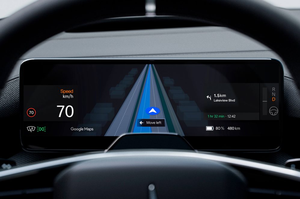
Unlike traditional GPS-based navigation that relies solely on map data and location tracking, Google’s Live Lane Guidance uses the Polestar 4’s forward-facing camera to “see” the road in real time. The system analyzes lane markings and road signs using Google’s advanced onboard AI, then overlays that information on the driver display.
With the system, drivers will receive visual cues and voice prompts that indicate the best lane to stay in or when to merge before an exit.
The Polestar 4’s Live Lane Guidance provides a dynamic visualization that highlights all available lanes on the route and pinpoints the one the car is currently in. If a driver strays from the correct lane, the system issues alerts to steer them back on course.
“For the first time, Google Maps can ‘see’ the road and its lanes like a driver, providing customized, real-time navigation help,” Google said in a press release.
The system’s goal is to minimize confusion on multilane highways, tricky interchanges, or areas where GPS signals are often unreliable—such as dense urban environments like Manhattan.
Initially, Live Lane Guidance will be activated through an over-the-air (OTA) update for Polestar 4 owners in the U.S. and Sweden, with other regions, including Canada, to follow at a later date. The feature will start with highway coverage and expand to more road types as Google refines the system and partners with additional automakers.